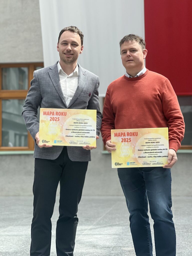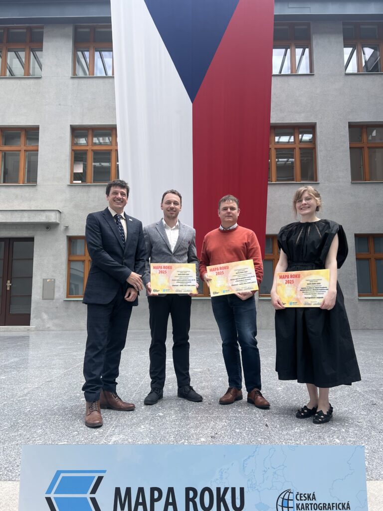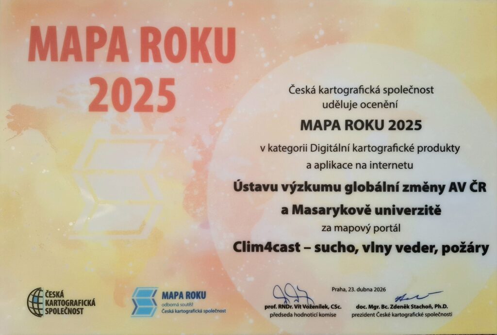
The expert jury of the Czech Cartographic Society has announced the results of the prestigious Map of the Year 2025 competition across six categories. The Clim4Cast project team, from the Global Change Research Institute CAS and Masaryk University, also participated. In the category Digital Cartographic Products and Online Applications, the team received an award among 14 competing entries for the Clim4Cast map portal – drought, heatwaves, wildfires.
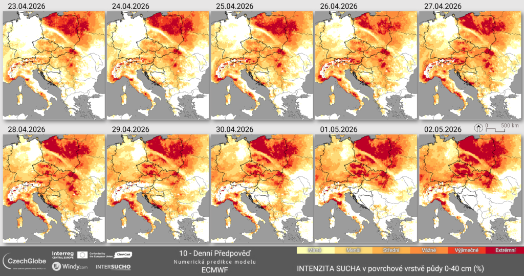
The Clim4Cast map portal is an innovative tool for monitoring and short-term forecasting of climate extremes in Central Europe. Its uniqueness lies in the integration of data from multiple countries across the region and in linking real-time monitoring with risk forecasting.
The portal focuses primarily on three key phenomena associated with climate change—drought, heatwaves, and wildfire risk—and provides their cartographic visualization through clear maps and indicators. An important feature is a daily updated short-term forecast, allowing users to track not only the current situation but also the expected development of these phenomena.
As a result, the portal can serve as an early warning and decision-support tool for public administration, crisis management, and agriculture. The combination of cross-border data, advanced analytical methods, and user-oriented cartographic visualization makes Clim4Cast a unique platform for monitoring and interpreting climate extremes in the Central European region.
The Interreg Central Europe Clim4Cast project connects scientific teams from seven European countries and strengthens Central Europe’s capacity to better prepare for and respond to the increasing risks associated with climate change.